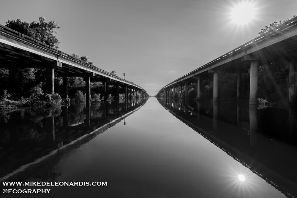
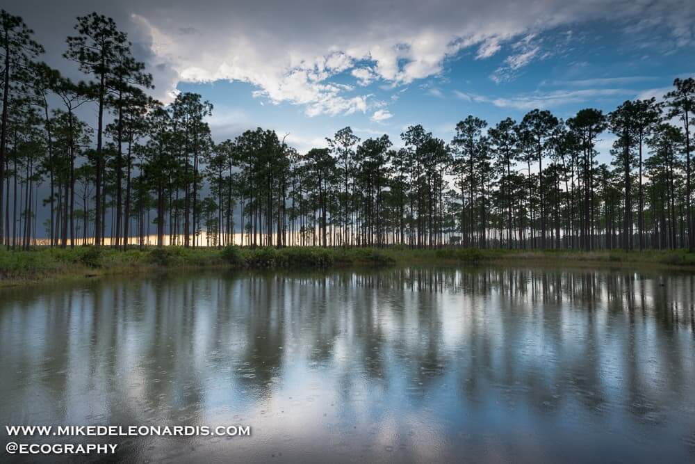
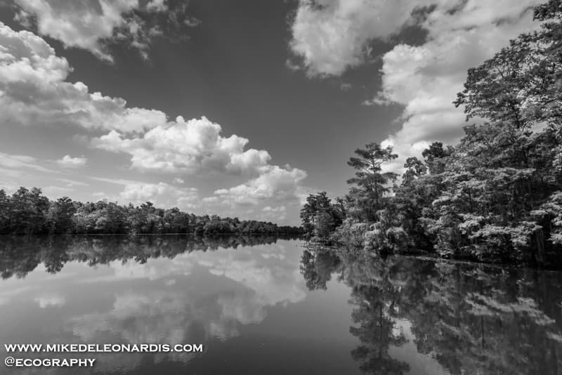
Southeastern US

Atchafalaya Basin
Atchafalaya Basin
Louisiana

This is the Atchafalaya Basin in Louisiana between Lafayette and Baton Rouge which is the largest swamp in the USA. Those roads are I-10 going right over it.
Dock On The Bay
Dock On The Bay
Louisiana

Dock on the bay
Mississippi Swamp
Mississippi Swamp
Mississippi

Mississippi swamp
Okefenokee Swamp
Okefenokee Swamp
Okefenokee Swamp

Situated on the Georgia / Florida border this area is 600 square miles of swampland. This land is the start of the Suwanee River and was declared a National Refuge in 1937 when developers started to drain it for logging.
It was mostly raining all day from Hurricane Hermine but the clouds broke for a few minutes to shine enough sunlight onto the ground for a picture.
Pearl River
Pearl River
Mississippi / Louisiana border

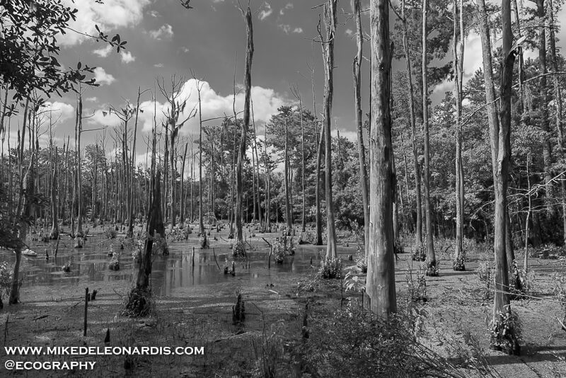
The Pearl River is the boundary between Western Mississippi and Eastern Louisiana. This river is continuously being shaped by weather. In 2005 Hurricane Katrina numerous cypress trees were knocked over causing the water to divert elsewhere.

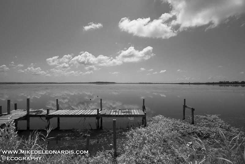
I found this area after visiting Logtown, Mississippi. If you keep going towards the west you come upon this spot. The waters were extremely calm and only the sounds of nature all around.
Quiet Mississippi Road
Logtown, Mississippi

Logtown is a ghost town on the banks of the Pearl River which separates Mississippi from Louisiana. Originially developed as a boom town to supply logs to New Orleans in the early 1800's the only thing left currently of this town is a cemetery and some dirt roads. The land surrounding Logtown is now owned by NASA's John C. Stennis Space Center which is NASA’s largest rocket engine testing facility.

I was traveling to visit the Space Center and ventured towards the Pearl River Wildlife Management Area. I followed this dirt road for miles which eventually led to the Pearl River which was so secluded from any civilization is was extremely quiet and peaceful.